
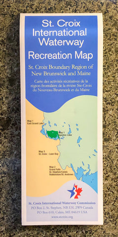


This map takes you on a journey from North Lake in Fosterville, through East Grand Lake and Spednic Lake, down the St. Croix River all the way to St. Stephen/Calais and into the Bay of Fundy. This waterway forms the international boundary between New Brunswick, Canada and Maine in the United States. The map includes information about access points, campsites, and whitewater classifications.
Three campgrounds on the map are maintained by the St. Croix International Waterway Commission. Additionally there are a staggering 78 campsites in the waterway. The campsites are along the river and on many of the small islands and points in the lake system. The map also shows the several small dams that maintain the water levels in the lake system.
Shipping and Handling is $3.99 within Canada and $9.49 to the US.